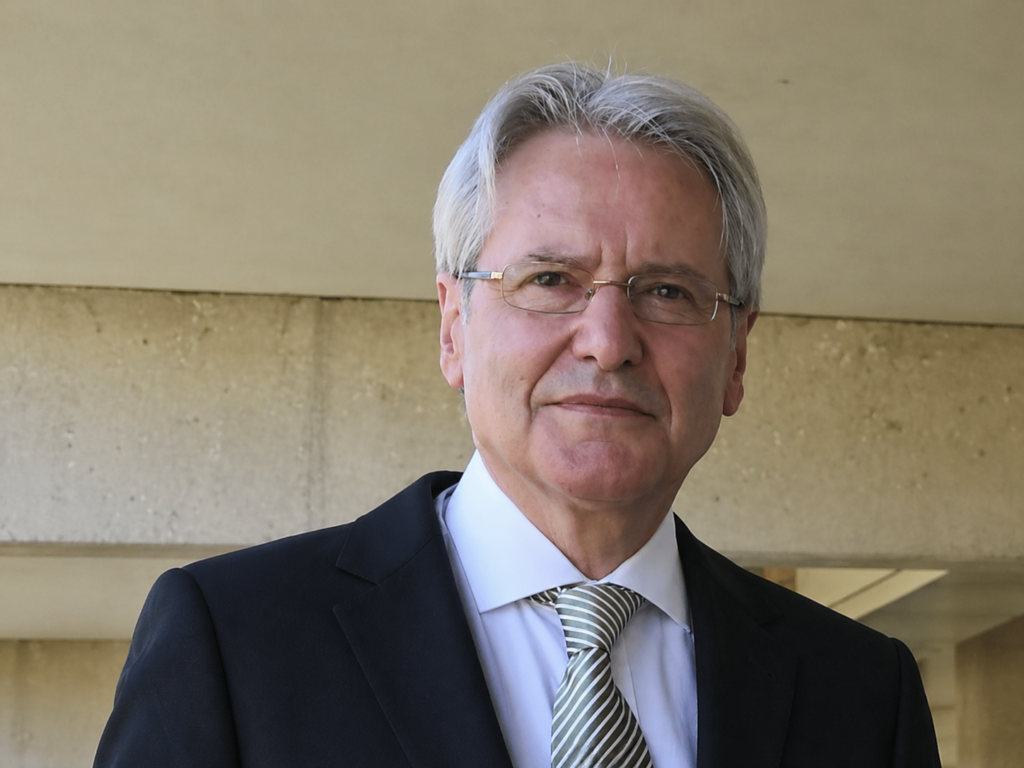
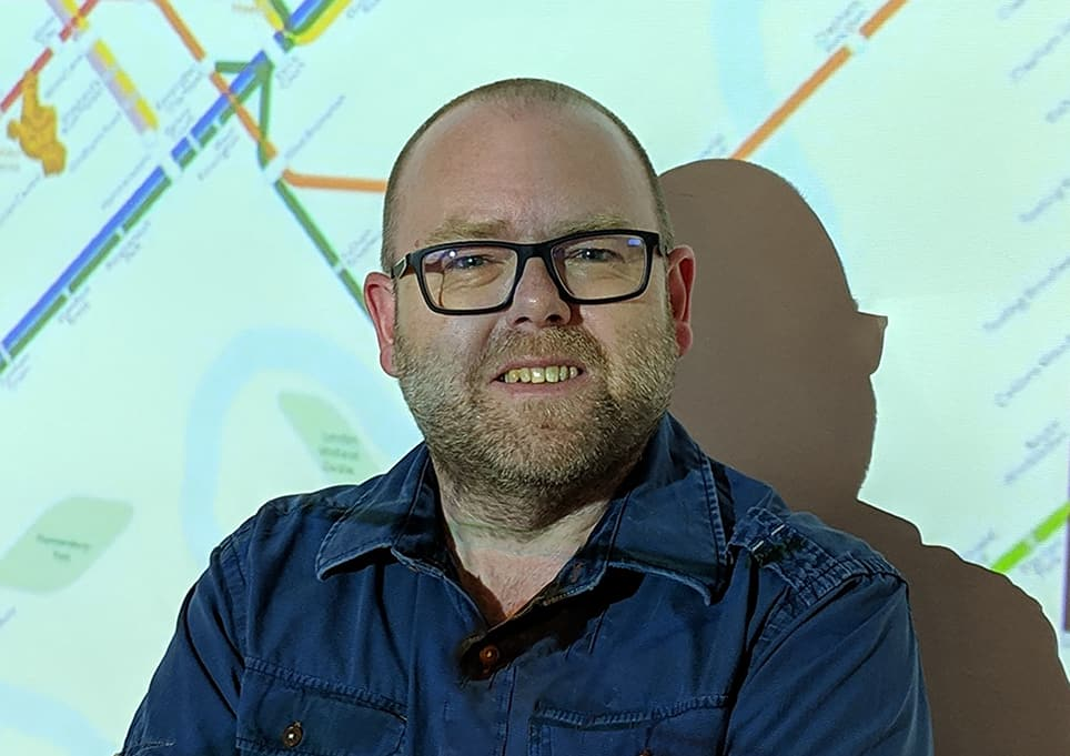
Dr. Kenneth Field
Senior Principal Cartographic Product Engineer at ESRI
See author biography
Ken makes maps, collects maps, writes about maps, has a tattoo of his favourite map and is devoted to encouraging others to see the value in quality cartography and helping them make better maps. After 20 years in UK academia, since 2011 he has lived and worked in California as a Distinguished GIS Engineer at Esri where he attempts to push the boundaries of what is possible in cartography. He has received numerous awards for his maps, writing, pedagogy, and kitchen tile designs. In 2025 he was honoured by the Data Visualization Society with an ‘Impressive Individual’ Information is Beautiful award for services to education in the realm of dataviz and mapping. In the same year he was also voted as one of 100 professionals who have shaped the UK geo-industry.
Despite evidence to the contrary, life’s not all about maps, and Ken can also be found on a snowboard, behind a drum kit, building Lego, or supporting his hometown football team, Nottingham Forest. He maintains a scrapbook of his talks, writings, maps and thoughts at https://links.esri.com/mappyhour.
He’s in demand as a panellist and keynote speaker and has curated and judged numerous map galleries and cartography competitions. He is author of the best-selling, and award-winning books Cartography and Thematic Mapping which provide deep and wide-ranging design advice for mapmakers. He also developed a Massive Open Online Course on Cartography which has seen around 250,000 participants globally over the last 8 years. He also routinely presents at Esri industry events globally to several thousand people on making better maps.
Put simply, Ken has had a wide-ranging positive impact on the geospatial industry, he has innovated through his maps, writing and teaching, and continues to contribute in multiple ways to share the benefits of high-quality mapping and how people can develop mapping skills in support of their own work.
Title of the talk:
Fear and Loathing in Cartography: Learning to Live with Technological Change
Read more about the talk
As we are all well aware, cartography is (defined as) an art, science and technology. And while arguably the art and science develops at a steady pace, the technological aspect of how we do our work has often changed rapidly, and with little notice. And so we find ourselves as a community at yet another technological inflection point. Re-tool, or die. Maybe?
There’s been a lot of noise about AI over the last year or so, and it’s blown up in geo-circles too. Ian Muehlenhaus and I have been experimenting with AI in an exercise we’ve called #365DaysOfMaps as part of our contribution to the research agenda of the International Cartographic Association (daily blogs, write-ups, thoughts at mapdesign.icaci.org). We began to recognise in late 2025 that AI was likely the next big technological paradigm shift in cartography. We’ve both seen a few of these shifts having trained with pens, French curves, darkroom technology, then desktop publishing, GIS, Illustration software, mainframes, terminals, desktops, the web, mobile, and cloud computing (phew!). We missed out on the shift from clay tablet to papyrus, and copperplate engraving to lithography, but we’ve seen enough to appreciate that every now and again technology rears its head and transforms the way we do our work (the how of what we do). It’s often transformative. Sometimes you don’t need to jump all in. Often, old skills die, but you develop new ways to work too. This is the way!
New technologies bring new map-makers, and new approaches. But what we’ve generally noticed is that any time there’s a major technological schism it comes with a tremendous amount of fear, trepidation, sometimes panic, and occasional loathing from within the cartographic community. In this talk, I will reflect on the reasons this might be the case, as I review what we’ve learnt during our AI mapping experiment to date. Maybe age allows some of us to see change as part of the natural cycle of professional activity while, for some, it’s the first time such a threat has emerged. And we offer a ten-point plan for how we feel AI can be used (presently) in a useful way by cartographers, and to quell the palpable concerns raised.
Along the way we hope to prove we are not being professionally negligent, unethical, or AI proponent slopmerchants – all pretty harsh epithets we’ve faced on our AI mapping journey to date. AI is not a cartographer. It’s not going to replace the cartographer. But it can and will do harm unless it’s controlled, slowly, and with intent. In some respects the importance and value of the cartographic craft has never been more important.

Ing. Ivan Buchta
Creative Lead of Arma Series at Bohemia Interactive
See author biography
Ivan Buchta (age 47, Czech) has been working on Bohemia Interactive’s Arma series since 2006, specializing in creative direction and delivering authentic environments for tactical mil-sim and survival games. His virtual game worlds, based on real-life geography, have been explored by millions of players over the past two decades. Before entering the video game industry, Ivan’s interest in nature and landscape led him to study environmental sciences at the University of Jan Evangelist Purkyně in Ústí nad Labem (CZ), where he researched the 1st and 2nd Austro-Hungarian Military Surveys.
He’s currently attempting to improve his archery skills without compromising his roles of being a father and the Creative Lead of Arma Reforger and Arma 4, the next generation of tactical shooters powered by Bohemia Interactive’s new proprietary technology – Enfusion.
Title of the talk:
In Service of the Entertainment: How Digital Cartography Contributes to the Success of Czech Game Developers
Read more about the talk
Video games are often associated with fictional settings and environments driven purely by the creators’ imagination and artistic approach. Surprisingly, there are several globally acclaimed games recently developed in Czechia that are set in virtual worlds based on the real landscapes: “Arma” series, “DayZ”, “Kingdom Come: Deliverance” and “Gray Zone Warfare”.
Authentic environments of these games are perceived as an inseparable part of the games’ realistic approach to their respective themes. Large authentic virtual landscapes allow developers to pioneer unique game experiences, and players to immerse themselves in the game, explore, and learn.
The talk unveils what it takes to employ a real geography in game development, from ideation to and beyond production, using Bohemia Interactive’s Arma series as an example. Besides the direct use of geographic data in creating the virtual environment, maps have become a vital part of design documentation; the cartographic point of view provides a unique perspective on the world design and the topology of user experience.
Consistent use of geographic data also allows developers to provide printed maps as original merchandise or to incorporate real locations into marketing. On top of that, there have been many players using the opportunity to explore the real counterparts of their favourite virtual world.

Assoc. Prof. Dana Končelíková
Psychiatrist at the University Hospital Olomouc
See author biography
Dana Končelíková (42, Czech) has been working as a psychiatrist at the Department of Psychiatry at the University Hospital Olomouc since 2009, and holds a PhD in the neurobiology of anxiety disorders. Alongside her clinical and research work, she provides care for patients with anxiety disorders as a psychiatrist with training in cognitive-behavioural therapy.
She has long been fascinated by how little we still understand about the brain–how it works, what shapes it, and how its functioning can be changed.
Outside of her medical career, Dana has long been passionate about the study of Aikido, a martial art that fosters both physical and mental development. These days, however, she devotes most of her energy to maintaining balance and harmony in her family and professional life.
Title of the talk:
What Does the Brain Do When It Looks at a Map? The Neurobiology of Orientation
Read more about the talk
Every map is rendered by the brain that evolved to locate water, shelter and threat. It was only recently when it was asked to read legends, coordinates and scale bars. In this presentation we review the neurobiology of spatial orientation from a clinical psychiatric perspective and derive evidence-based consequences for cartographic design.
We review the current known neurobiology taking part in orientation from a cell to whole brain-parts, where the rendering of a map happens. The biological cost for to process a map and what are the consequences for the user are the matter of debate and current study. Where attention becomes scarce commodity? What is the influence of one’s psychological set-up on map interpretation? We try to elucidate these questions and show how a synthesis of neurological concepts can become a tool for a cartographer to create map that is not just neurocompatible, but foremost human in nature.

Prof. Wolfgang Kainz
Emeritus Professor of Cartography and Geo-Information Science
See author biography
Wolfgang Kainz is an Emeritus Professor of Cartography and Geo-Information Science at the University of Vienna, Austria, and a Visiting Professor at Wuhan University, China. Previously, he served as a Full Professor at ITC in the Netherlands. He holds a graduate degree in Technical Mathematics and Computer Science, as well as a PhD in Geo-Information Science from Graz University of Technology, Austria. With 45 years of experience in education, research, and consulting in the geo-information field, his primary interest lies in the theoretical foundations of GIS.
In 1984, he organized Euro-Carto III in Graz, Austria. He attended numerous Euro-Carto conferences, including Euro-Carto VI in Brno in 1987, and later organized EuroCarto 2020 in Vienna. Early in his career, he served on ICA Commissions and Working Groups and later contributed to ISPRS Working Groups and as a Commission President.
He is the immediate past president of the Austrian Cartographic Commission and currently serves as Editor-in-Chief of the ISPRS International Journal of Geo-Information. In 2020, he received the Wang Zhizhuo Award from ISPRS.
Title of the talk:
The Evolution of Mapping and Some Considerations About the Definition of a Map
Read more about the talk
Mapping the world is an ancient art. Originating in early depictions of landscape and human habitat, it evolved through advanced map projections and masterfully crafted representations into the science of cartography. Today, cartography enjoys international standing alongside spatial disciplines such as photogrammetry, remote sensing, geodesy, and geography.
This presentation traces key milestones in the evolution of mapping that ultimately led to cartography’s recognition as an independent science in the early twentieth century. It reflects on the identity crisis provoked by the spread of geographic information systems in the late twentieth and early twenty-first centuries and argues for cartography’s renewed relevance within the expanding field of spatial data science.
Finally, prompted by persistent debates over what constitutes a map and the very nature of cartography, this presentation offers a fresh perspective. It re-examines the definition of the map through a formal mathematical lens and reconsiders the conception of cartography itself.
.